 |
| Photo by the author |
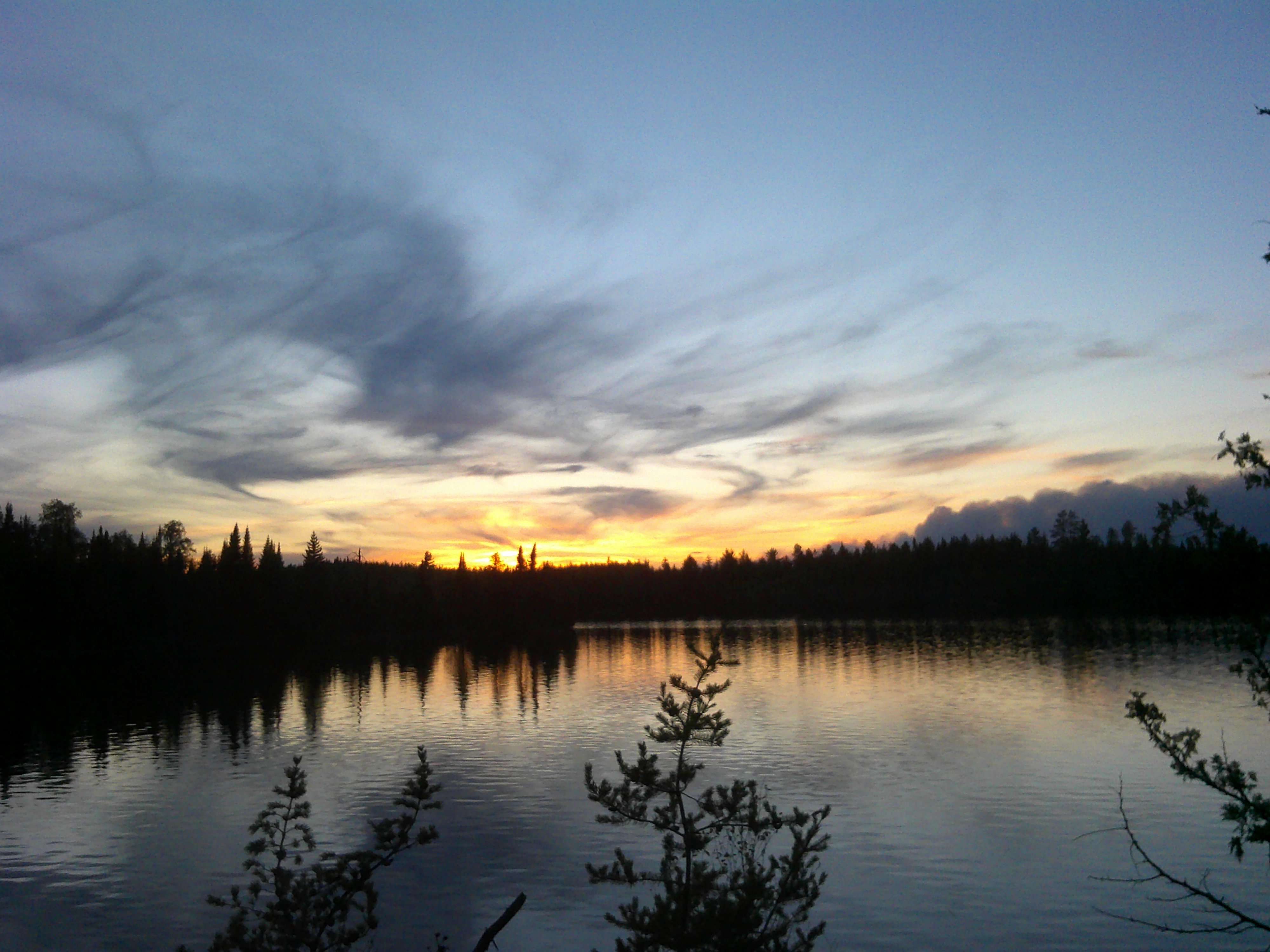
In August 2021, our crew of nine (three adults and six teens) set out on a five day canoe trip through the Boundary Waters Canoe Area Wilderness. We traveled 43 miles – and ultimately through some of the most difficult wind-blown waves of the Summer (according to our guide, and this August trip was the last one of the year).
It was an amazing trip: a confidence-building challenge for the Scouts that was every bit the “High Adventure” experience we’d sought.
On our return, I still had the large waterproof map we’d used for navigation in the boats that I had updated each night with notes on our route for that day. The map is a great memento but was hard to share. The best I could do was this picture (click on it to expand it and see my notes):

Seeing it as a hands-on learning opportunity, I created a free ArcGIS Online personal account and used ESRI’s free tools to make and share this map. Like my experience with Power BI and Google data (https://blog.tectonicspeed.com/2020/05/but-first-let-me-take-selfie.html) this was a pleasure project that let me learn tools I see at work, but rarely get to use.
Here’s a link to the map. Read on below if you want a bit more detail about my ArcGIS Online odyssey.
https://www.arcgis.com/apps/instant/basic/index.html?appid=e9d960f26abd414d93081072f0349c7e
As with my experience with Power BI, I found limitations in the free version of ArcGIS Online that prevented me from doing exactly what I wanted. With ArcGIS Online, it was the simplest thing: I could not figure out to simply draw the route on the map! I’m sure there’s a way in the paid version...
Like any user, my response to a roadblock is to work around it using other tools. In this case, it was Alltrails, an app that I use for hiking and for which I have a paid “Pro” license. Alltrails let me freehand draw our route and then export a KML file (a geographic data format) that I could import into ArcGIS Online.
With the basic route marked, my next step was to annotate it. I had several false starts at this, as I explored the “sketch” tools in ArcGIS Online. After much trial & error, I learned how to drop a pin and then incorporate images, which must be web links. Fortunately, I have a website that I could use to host the pictures. I understand why ArcGIS Online doesn’t want to host all our pictures on their server, but some integration with Google Photos or iCloud would be nice. They should allow pictures up to a certain size limit, in my opinion.
My original plan was to create a Story Map for the trip, but I found that the pins I created through the “sketch” menu didn’t play well with the story map: they were obscured from view by the way the story map displayed the frames. That’s an unfortunate glitch that could have been found and fixed with more testing. I bailed on the Story Map after several attempts, and I went back and added more text to the pins so that the Story was included in the pins themselves.
A few final take-aways from my experience:
- A personal account for ArcGIS Online omits many features of the paid version but does provide a basic tool for online map-making.
- There are too many of some things (like pin styles) and not enough emphasis on controlling how it will display
- The Boundary Waters Canoe Area Wilderness is an incredible place to adventure, but you need to be prepared with physical fitness, the right gear, and a plan to deal with the unexpected!